Geolocate

Cris Creek topographic map

Click on the map to display elevation.

About this map

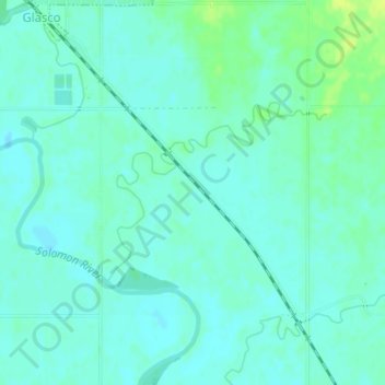
Name: Cris Creek topographic map, elevation, terrain.

Location: Cris Creek, Cloud County, Kansas, 67445, United States (39.33805 -97.83523 39.35068 -97.81521)

Average elevation: 403 m

Minimum elevation: 398 m

Maximum elevation: 413 m

Gear up for your next adventure:

🥾Light Hiking Boots - Lightweight and comfortable boots for day hikes
🧼Biodegradable Camp Soap - Environmentally friendly cleaning for gear and body
🥾Hiking Shoes - Durable and comfortable shoes for trail hiking
🧥Softshell Hiking Jacket - The perfect balance of wind protection and breathability
🥾Hiking Gaiters - Protect legs and shoes from mud, snow, and debris

As an Amazon Associate, this site earns from qualifying purchases at no extra cost to you.