
Rissington topographic map
Click on the map to display elevation.
About this map
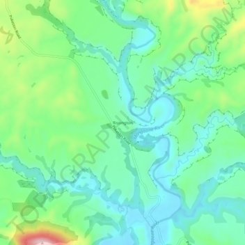
Name: Rissington topographic map, elevation, terrain.
Location: Rissington, Hastings District, Hawke's Bay, New Zealand (-39.44388 176.69202 -39.40388 176.73202)
Average elevation: 145 m
Minimum elevation: 69 m
Maximum elevation: 346 m
Other topographic maps
Click on a map to view its topography, its elevation and its terrain.