Geolocate

Usigni topographic map

Click on the map to display elevation.

About this map

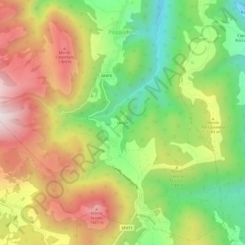
Name: Usigni topographic map, elevation, terrain.

Location: Usigni, Poggiodomo, Perugia, Umbria, 06040, Italy (42.67641 12.91360 42.71641 12.95360)

Average elevation: 1,097 m

Minimum elevation: 720 m

Maximum elevation: 1,517 m

Gear up for your next adventure:

🦶Anti-Blister Balm - Prevents friction and hotspots during long ascents
Camping Essentials - All-in-one gear for a comfortable camping trip
👖Convertible Hiking Pants - Zip-off legs to adapt to changing weather conditions
🥾Lightweight Hiking Shoes - Comfortable shoes for day hikes
🥾Mountain Hiking Shoes - Shoes with superior grip for mountainous terrain

As an Amazon Associate, this site earns from qualifying purchases at no extra cost to you.