Geolocate

Malvicina topographic map

Click on the map to display elevation.

About this map

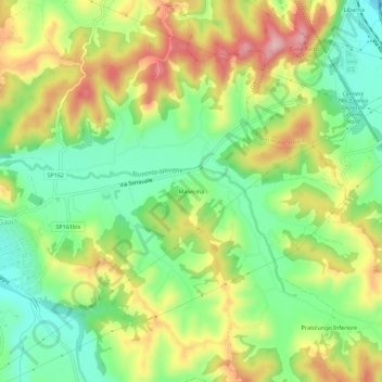
Name: Malvicina topographic map, elevation, terrain.

Location: Malvicina, Gavi, Alessandria, Piemonte, 15066, Italia (44.67082 8.81672 44.71082 8.85672)

Average elevation: 289 m

Minimum elevation: 202 m

Maximum elevation: 404 m

Gear up for your next adventure:

🥾Mountain Hiking Shoes - Shoes with superior grip for mountainous terrain
🚲Heavy Duty Bike Lock - Secure your bike at the trailhead or during stops
🔋Emergency Crank Radio - Weather alerts and power without needing batteries
🥾Waterproof Hiking Boots - Boots keeping your feet dry in wet conditions
❄️Traction Ice Cleats - Slip-on spikes for icy trails and winter hiking

As an Amazon Associate, this site earns from qualifying purchases at no extra cost to you.