
Thank you for supporting this site ❤️
Make a donation
Make a donation
Gear up for your next adventure:
As an Amazon Associate, this site earns from qualifying purchases at no extra cost to you.
Kothapet topographic map
Click on the map to display elevation.
Thank you for supporting this site ❤️
Make a donation
Make a donation
Gear up for your next adventure:
As an Amazon Associate, this site earns from qualifying purchases at no extra cost to you.
About this map
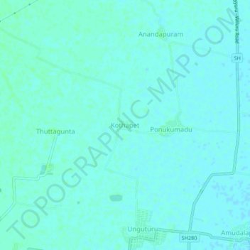
Name: Kothapet topographic map, elevation, terrain.
Location: Kothapet, Unguturu, Krishna, Andhra Pradesh, 521109, India (16.51044 80.86216 16.55044 80.90216)
Average elevation: 9 m
Minimum elevation: 7 m
Maximum elevation: 12 m
Thank you for supporting this site ❤️
Make a donation
Make a donation
Gear up for your next adventure:
As an Amazon Associate, this site earns from qualifying purchases at no extra cost to you.