Geolocate

Khidim topographic map

Click on the map to display elevation.

About this map

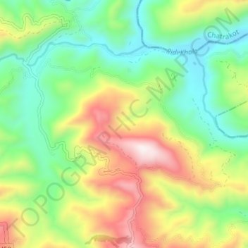
Name: Khidim topographic map, elevation, terrain.

Location: Khidim, Panini, Arghakhanchi, Lumbini Province, Nepal (27.88933 83.25099 27.92883 83.31178)

Average elevation: 994 m

Minimum elevation: 673 m

Maximum elevation: 1,525 m

Gear up for your next adventure:

💧Reusable Water Bottle - Durable water bottles for hydration on trails
🧥Ultralight Puffy Jacket - Maximum warmth that packs down to the size of an orange
🥾Trail Running Shoes - Lightweight and durable shoes for trail running
🥾Mountain Hiking Boots - High-traction boots for rocky terrain
🥾Trekking Poles - Adjustable trekking poles to reduce knee stress and improve stability

As an Amazon Associate, this site earns from qualifying purchases at no extra cost to you.