Geolocate

Frolands verk topographic map

Click on the map to display elevation.

About this map

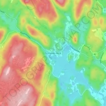
Name: Frolands verk topographic map, elevation, terrain.

Location: Frolands verk, Froland, Agder, 4827, Norway (58.48056 8.56122 58.52056 8.60122)

Average elevation: 124 m

Minimum elevation: 34 m

Maximum elevation: 243 m

Gear up for your next adventure:

🥾Trekking Boots - Durable boots for long-distance trekking
🚲MTB Frame Bag - Carry tools and maps directly on your bicycle frame
🔋Lithium AA Batteries - Long-lasting power that performs in extreme cold
👖Convertible Hiking Pants - Zip-off legs to adapt to changing weather conditions
🥾Mountain Hiking Shoes - Shoes with superior grip for mountainous terrain

As an Amazon Associate, this site earns from qualifying purchases at no extra cost to you.