
ឃុំទ្រៀល topographic map
Interactive map
Click on the map to display elevation.
About this map
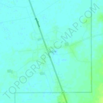
Name: ឃុំទ្រៀល topographic map, elevation, terrain.
Location: ឃុំទ្រៀល, Kompong Thom, Cambodge (12.31200 105.08717 12.35200 105.12717)
Average elevation: 14 m
Minimum elevation: 10 m
Maximum elevation: 22 m