Geolocate

Kalavoor topographic map

Click on the map to display elevation.

About this map
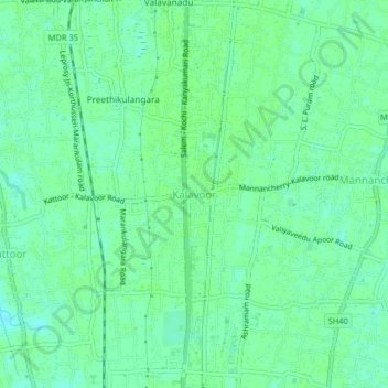
Name: Kalavoor topographic map, elevation, terrain.

Location: Kalavoor, Ambalappuzha, Alappuzha, Kerala, 688522, India (9.55052 76.30861 9.59052 76.34861)

Average elevation: 9 m

Minimum elevation: 4 m

Maximum elevation: 12 m

Gear up for your next adventure:

🧦Crew Hiking Socks - Comfortable socks for long-distance hikes
🧶550 Survival Paracord - Versatile utility cord for emergency repairs and rigging
🚑Survival Whistle - Signal for help across long distances in mountains
🥫Freeze-Dried Meals - Lightweight, high-calorie nutrition for multi-day treks
💡LED Camping Lantern - Illuminate your campsite with long-lasting lanterns

As an Amazon Associate, this site earns from qualifying purchases at no extra cost to you.