Geolocate

el Plan topographic map

Click on the map to display elevation.

About this map

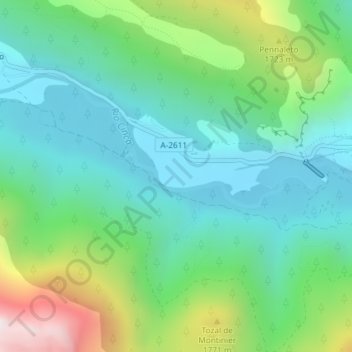
Name: el Plan topographic map, elevation, terrain.

Location: el Plan, Bielsa, Sobrarbe, Huesca, Aragón, 22350, España (42.62384 0.17733 42.64384 0.19733)

Average elevation: 1,432 m

Minimum elevation: 1,138 m

Maximum elevation: 2,207 m

Other topographic maps

Click on a map to view its topography, its elevation and its terrain.

Lago de Marboré

España > Aragón > Bielsa

Average elevation: 2,508 m

Gear up for your next adventure:

💡LED Headlamp - Hands-free illumination for night hiking and camping
🧭GPS Outdoor Watch - Smart watch for navigation and fitness tracking in nature
🧦Thermal Socks - Warm socks for winter hiking or camping
🎒Fully Waterproof Backpack - Total protection for photography gear and electronics
🧴Bear Spray Holster - Quick-access carry for essential Canadian wilderness safety

As an Amazon Associate, this site earns from qualifying purchases at no extra cost to you.