
Recht topographic map
Interactive map
Click on the map to display elevation.
About this map
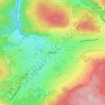
Name: Recht topographic map, elevation, terrain.
Location: Recht, Verviers, Luik, Wallonië, 4780, België (50.31493 6.02313 50.35493 6.06313)
Average elevation: 465 m
Minimum elevation: 375 m
Maximum elevation: 584 m