
river topographic map
Interactive map
Click on the map to display elevation.
About this map
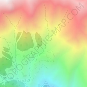
Name: river topographic map, elevation, terrain.
Location: river, Yusufeli, Artvin Province, Black Sea Region, Türkiye (40.98520 41.35312 41.00992 41.36374)
Average elevation: 2,213 m
Minimum elevation: 1,490 m
Maximum elevation: 2,981 m