Geolocate

Dalash topographic map

Click on the map to display elevation.

About this map

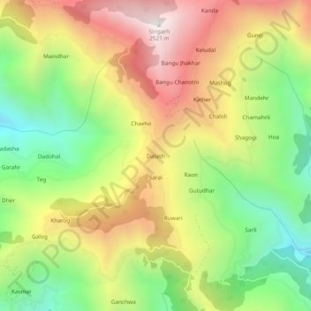
Name: Dalash topographic map, elevation, terrain.

Location: Dalash, Ani, Kullu, Himachal Pradesh, 172025, India (31.36713 77.41417 31.40713 77.45417)

Average elevation: 1,802 m

Minimum elevation: 1,183 m

Maximum elevation: 2,497 m

Gear up for your next adventure:

🧥Insulated Jacket - Keep warm in cold outdoor conditions
Lightweight Camping Tent - Portable shelter optimized for Canadian backcountry camping
🔭Compact Binoculars - Lightweight optics for scouting trails and wildlife
🎒Hiking Daypack - Lightweight and durable backpacks for day trips and excursions
🌡️Emergency Mylar Blankets - Compact thermal protection for unexpected nights outdoors

As an Amazon Associate, this site earns from qualifying purchases at no extra cost to you.