Geolocate

Springhill topographic map

Click on the map to display elevation.

About this map

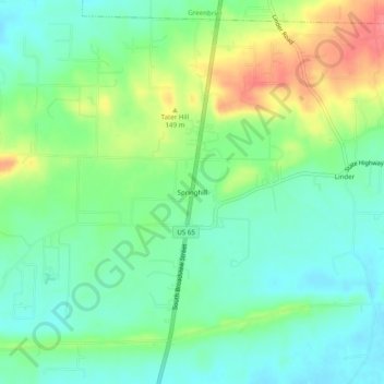
Name: Springhill topographic map, elevation, terrain.

Location: Springhill, Faulkner County, Arkansas, 72058, United States (35.16869 -92.41238 35.20869 -92.37238)

Average elevation: 115 m

Minimum elevation: 90 m

Maximum elevation: 162 m

Gear up for your next adventure:

Backpacking Tent - Lightweight tent for long-distance hiking trips
🚲MTB Frame Bag - Carry tools and maps directly on your bicycle frame
🐕Hiking Dog Pack - Let your canine companion carry their own water and food
Tent Footprint - Protect tent floor and increase durability
👟Leg Gaiters - Keep debris, mud, and snow out of your boots

As an Amazon Associate, this site earns from qualifying purchases at no extra cost to you.