
Renauds Mills topographic map
Interactive map
Click on the map to display elevation.
About this map
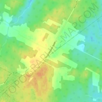
Name: Renauds Mills topographic map, elevation, terrain.
Average elevation: 49 m
Minimum elevation: 33 m
Maximum elevation: 65 m
Other topographic maps
Click on a map to view its topography, its elevation and its terrain.
Saint-Joseph-de-Kent
Canada > New Brunswick > Wellington Parish
Saint-Joseph-de-Kent, Wellington Parish, Kent County, New Brunswick, E4S 4G4, Canada
Average elevation: 20 m