
Totora topographic map
Interactive map
Click on the map to display elevation.
About this map
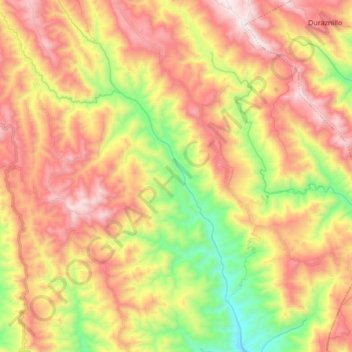
Name: Totora topographic map, elevation, terrain.
Location: Totora, Municipio Totora, Carrasco, CBA, 0000, Bolivie (-17.93654 -65.14683 -17.77618 -65.05709)
Average elevation: 2,465 m
Minimum elevation: 1,879 m
Maximum elevation: 3,020 m