
Schengen topographic map
Interactive map
Click on the map to display elevation.
About this map
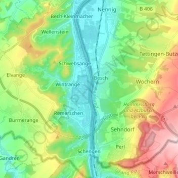
Name: Schengen topographic map, elevation, terrain.
Location: Schengen, Canton Remich, Luxembourg (49.45951 6.28439 49.53886 6.36885)
Average elevation: 233 m
Minimum elevation: 136 m
Maximum elevation: 426 m