
Teandalloch topographic map
Interactive map
Click on the map to display elevation.
About this map
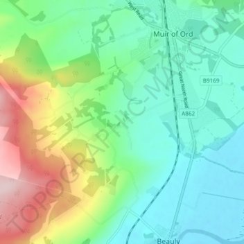
Name: Teandalloch topographic map, elevation, terrain.
Location: Teandalloch, Highland, Écosse, IV4 7AA, Royaume-Uni (57.48319 -4.49396 57.52319 -4.45396)
Average elevation: 76 m
Minimum elevation: -1 m
Maximum elevation: 259 m