Geolocate

Coto-Rios topographic map

Click on the map to display elevation.

About this map
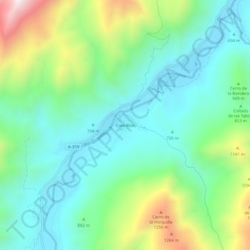
Name: Coto-Rios topographic map, elevation, terrain.

Location: Coto-Rios, Santiago-Pontones, Jaén, Andalucía, España (38.02644 -2.86895 38.06644 -2.82895)

Average elevation: 877 m

Minimum elevation: 633 m

Maximum elevation: 1,488 m

Gear up for your next adventure:

🧭GPS Outdoor Watch - Smart watch for navigation and fitness tracking in nature
🥾Waterproof Trail Shoes - Shoes designed to handle wet terrain
🚑Survival Whistle - Signal for help across long distances in mountains
🥾Light Hiking Boots - Lightweight and comfortable boots for day hikes
🧥Ultralight Puffy Jacket - Maximum warmth that packs down to the size of an orange

As an Amazon Associate, this site earns from qualifying purchases at no extra cost to you.