
Thank you for supporting this site ❤️
Make a donation
Make a donation
Gear up for your next adventure:
As an Amazon Associate, this site earns from qualifying purchases at no extra cost to you.
Afensou topographic map
Click on the map to display elevation.
Thank you for supporting this site ❤️
Make a donation
Make a donation
Gear up for your next adventure:
As an Amazon Associate, this site earns from qualifying purchases at no extra cost to you.
About this map
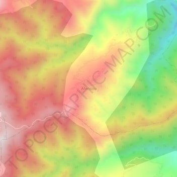
Name: Afensou topographic map, elevation, terrain.
Location: Afensou, Kanoua, Daïra Zitouna, Skikda, Algérie (36.99640 6.41539 37.03640 6.45539)
Average elevation: 637 m
Minimum elevation: 219 m
Maximum elevation: 966 m
Thank you for supporting this site ❤️
Make a donation
Make a donation
Gear up for your next adventure:
As an Amazon Associate, this site earns from qualifying purchases at no extra cost to you.