Geolocate

Madisonville topographic map

Click on the map to display elevation.

About this map

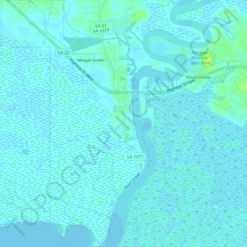
Name: Madisonville topographic map, elevation, terrain.

Location: Madisonville, St. Tammany Parish, Louisiana, United States (30.37787 -90.18128 30.42003 -90.15359)

Average elevation: 2 m

Minimum elevation: -1 m

Maximum elevation: 11 m

Other topographic maps

Click on a map to view its topography, its elevation and its terrain.

Bush

United States > Louisiana > St. Tammany Parish

Average elevation: 22 m

Bush

United States > Louisiana > St. Tammany Parish

Average elevation: 22 m

Gear up for your next adventure:

🧤Rechargeable Heated Gloves - Extreme warmth for Canadian winter expeditions
Camping Tent - Weather-resistant tents suitable for 2 to 6 people
🪜Heavy Duty Carabiners - Multi-use clips for securing gear to your backpack
🦶Anti-Blister Balm - Prevents friction and hotspots during long ascents
🥤Collapsible Travel Cup - Saves space and weight in your mess kit

As an Amazon Associate, this site earns from qualifying purchases at no extra cost to you.