
Галичани topographic map
Interactive map
Click on the map to display elevation.
About this map
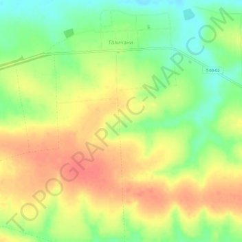
Name: Галичани topographic map, elevation, terrain.
Location: Галичани, Горохівський район, Oblast de Volhynie, Ukraine (50.41901 24.88712 50.45231 24.91837)
Average elevation: 221 m
Minimum elevation: 192 m
Maximum elevation: 244 m