
Los Parques topographic map
Interactive map
Click on the map to display elevation.
About this map
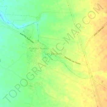
Name: Los Parques topographic map, elevation, terrain.
Location: Los Parques, Provincia de Chepén, La Libertad, Perú (-7.21042 -79.52941 -7.17042 -79.48941)
Average elevation: 79 m
Minimum elevation: 61 m
Maximum elevation: 92 m