Geolocate

Mandeville topographic map

Click on the map to display elevation.

About this map

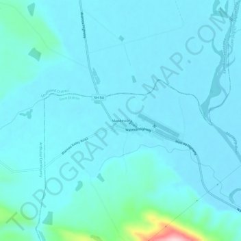
Name: Mandeville topographic map, elevation, terrain.

Location: Mandeville, Gore District, Southland, New Zealand (-46.01109 168.78616 -45.97109 168.82616)

Average elevation: 119 m

Minimum elevation: 96 m

Maximum elevation: 335 m

Gear up for your next adventure:

🥾Trekking Poles - Adjustable trekking poles to reduce knee stress and improve stability
🥾Hiking Shorts - Breathable shorts suitable for summer hikes
🥾Waterproof Hiking Boots - Essential footwear for rugged terrain and wet Canadian trails
🧭GPS Tracker - Track your location in remote areas safely
🧼Biodegradable Camp Soap - Environmentally friendly cleaning for gear and body

As an Amazon Associate, this site earns from qualifying purchases at no extra cost to you.