Geolocate

Col de Turini topographic map

Click on the map to display elevation.

About this map

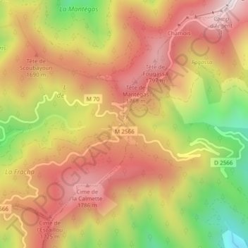
Name: Col de Turini topographic map, elevation, terrain.

Location: Col de Turini, Moulinet, Nice, Maritime Alps, Provence-Alpes-Côte d'Azur, Metropolitan France, 06380, France (43.97752 7.39155 43.97762 7.39165)

Average elevation: 1,549 m

Minimum elevation: 1,126 m

Maximum elevation: 1,852 m

Other topographic maps

Click on a map to view its topography, its elevation and its terrain.

Gear up for your next adventure:

🧢Outdoor Cap - Protective cap for sun and rain during hikes
🥾Durable Hiking Shoes - Long-lasting shoes for frequent hiking
Tent Footprint - Protect tent floor and increase durability
🧥Waterproof Jacket - Lightweight rain jackets for hiking and outdoor activities
🥾Approach Boots - Comfortable boots for hiking and climbing approaches

As an Amazon Associate, this site earns from qualifying purchases at no extra cost to you.