
归州街道 topographic map
Interactive map
Click on the map to display elevation.
About this map
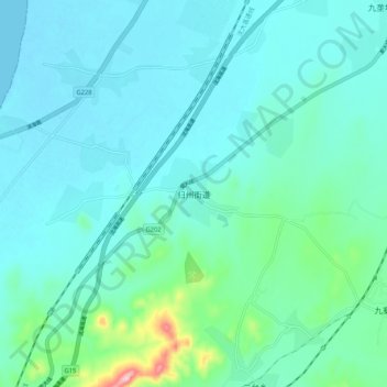
Name: 归州街道 topographic map, elevation, terrain.
Location: 归州街道, Yingkou, Gaizhou, Liaoning, Chine (40.07331 122.01488 40.15331 122.09488)
Average elevation: 33 m
Minimum elevation: -1 m
Maximum elevation: 222 m