
Sitio arqueológico de Chavín topographic map
Interactive map
Click on the map to display elevation.
About this map
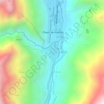
Name: Sitio arqueológico de Chavín topographic map, elevation, terrain.
Average elevation: 3,407 m
Minimum elevation: 3,118 m
Maximum elevation: 3,902 m