
Temse topographic map
Interactive map
Click on the map to display elevation.
About this map
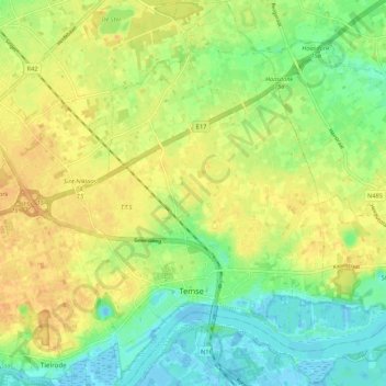
Name: Temse topographic map, elevation, terrain.
Location: Temse, Tamise, Flandre orientale, Flandre, Belgique (51.10879 4.17722 51.17561 4.25048)
Average elevation: 16 m
Minimum elevation: -3 m
Maximum elevation: 30 m