Geolocate

Tiantai County topographic map

Click on the map to display elevation.

About this map

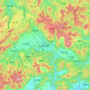
Name: Tiantai County topographic map, elevation, terrain.

Location: Tiantai County, Taizhou, 花前产业园区, Zhejiang, China (28.95436 120.68559 29.34700 121.25976)

Average elevation: 348 m

Minimum elevation: 6 m

Maximum elevation: 1,207 m

Gear up for your next adventure:

🧦Outdoor Socks - Durable socks designed for hiking and outdoor sports
Camping Coffee Maker - Brew fresh coffee anywhere on the topographic map
🧥Softshell Hiking Jacket - The perfect balance of wind protection and breathability
🩹Compact First Aid Kit - Pre-packed essentials for common trail injuries
🍽️Titanium Camping Spork - Ultralight and indestructible eating utensil

As an Amazon Associate, this site earns from qualifying purchases at no extra cost to you.