Geolocate

San Isidro topographic map

Click on the map to display elevation.

About this map

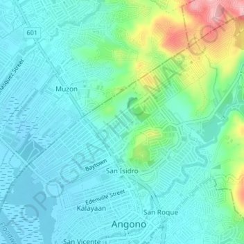
Name: San Isidro topographic map, elevation, terrain.

Location: San Isidro, Angono, Rizal, Calabarzon, 1930, Philippines (14.52458 121.14469 14.55405 121.17784)

Average elevation: 36 m

Minimum elevation: -3 m

Maximum elevation: 166 m

Other topographic maps

Click on a map to view its topography, its elevation and its terrain.

Angono

Philippines > Rizal > Angono

Average elevation: 47 m

Gear up for your next adventure:

🧤Rechargeable Heated Gloves - Extreme warmth for Canadian winter expeditions
🧢Hiking Sun Hat - Wide-brimmed protection for exposed mountain ridges
🗺️Topographic Maps - Detailed maps to explore trails, mountains, and wilderness areas
🔋Solar Power Bank - Keep your GPS and devices charged during long outdoor trips
🥾Waterproof Hiking Shoes - Durable shoes for wet and rugged trails

As an Amazon Associate, this site earns from qualifying purchases at no extra cost to you.