
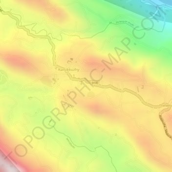
Pond at Kesavan Purayidom, Kanjikuzhy topographic map
Interactive map
Click on the map to display elevation.
About this map
Name: Pond at Kesavan Purayidom, Kanjikuzhy topographic map, elevation, terrain.
Location: Pond at Kesavan Purayidom, Kanjikuzhy, Idukki, Kerala, India (9.95154 76.93486 9.95166 76.93498)
Average elevation: 639 m
Minimum elevation: 210 m
Maximum elevation: 978 m
Other topographic maps
Click on a map to view its topography, its elevation and its terrain.