Geolocate

Morgan topographic map

Click on the map to display elevation.

About this map

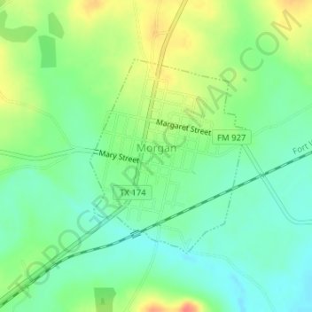
Name: Morgan topographic map, elevation, terrain.

Location: Morgan, Bosque County, Texas, United States (32.00703 -97.61415 32.02385 -97.59824)

Average elevation: 227 m

Minimum elevation: 206 m

Maximum elevation: 261 m

Gear up for your next adventure:

💡Solar Camping Lamp - Eco-friendly lighting for campsites
🔦LED Headtorch - Bright and durable light for night activities
Camping Tent - Weather-resistant tents suitable for 2 to 6 people
🚲Bike Repair Kit - Essential tools for on-trail mechanical issues
🧥Waterproof Hiking Jacket - Protect yourself from rain and wind while hiking

As an Amazon Associate, this site earns from qualifying purchases at no extra cost to you.