Geolocate

Ferhet topographic map

Click on the map to display elevation.

About this map

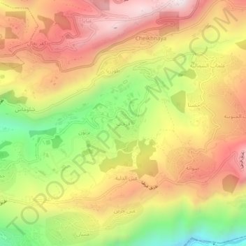
Name: Ferhet topographic map, elevation, terrain.

Location: Ferhet, Jbeil District, Keserwan-Jbeil Governorate, Lebanon (34.08035 35.74176 34.12035 35.78176)

Average elevation: 912 m

Minimum elevation: 402 m

Maximum elevation: 1,336 m

Gear up for your next adventure:

🔭Compact Monocular - One-handed bird watching and trail spotting
Family Camping Tent - Spacious tent suitable for family camping trips
🧥Waterproof Pants - Keep dry during rainy hiking conditions
💧Reusable Water Bottle - Durable water bottles for hydration on trails
🧥Fleece Jacket - Warm and lightweight jacket for layering

As an Amazon Associate, this site earns from qualifying purchases at no extra cost to you.