Geolocate

Fort Chiswell topographic map

Click on the map to display elevation.

About this map

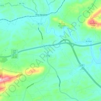
Name: Fort Chiswell topographic map, elevation, terrain.

Location: Fort Chiswell, Wythe County, Virginia, United States (36.91492 -81.00041 36.96967 -80.89751)

Average elevation: 674 m

Minimum elevation: 595 m

Maximum elevation: 1,017 m

Gear up for your next adventure:

Bushcraft Tarp - Versatile emergency shelter or gear protection
🧦Crew Hiking Socks - Comfortable socks for long-distance hikes
🔥Emergency Fire Starter - Reliable ignition source for all weather conditions
🦯Trekking Poles - Reduced impact on joints for steep topographic climbs
🔥Camping Stove - Portable stoves to cook outdoors with ease

As an Amazon Associate, this site earns from qualifying purchases at no extra cost to you.