Geolocate

Grou topographic map

Click on the map to display elevation.

About this map

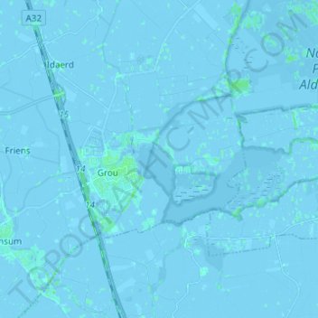
Name: Grou topographic map, elevation, terrain.

Location: Grou, Leeuwarden, Frisia, Netherlands (53.06659 5.79330 53.12693 5.91646)

Average elevation: 0 m

Minimum elevation: -6 m

Maximum elevation: 4 m

Other topographic maps

Click on a map to view its topography, its elevation and its terrain.

Vierhuizen

Netherlands > Frisia > Allingawier

Average elevation: -2 m

Oost-Vlieland

Netherlands > Frisia

Average elevation: 2 m

Kooiplaats

Netherlands > Frisia > Buren

Average elevation: 1 m

Loënga

Netherlands > Frisia > Loënga

Average elevation: 0 m

Leeuwarden

Netherlands > Frisia > Leeuwarden

Average elevation: 0 m

Gear up for your next adventure:

Bushcraft Tarp - Versatile emergency shelter or gear protection
🥾Lightweight Hiking Shoes - Comfortable shoes for day hikes
👟Leg Gaiters - Keep debris, mud, and snow out of your boots
🔨Vehicle Emergency Tool - Safety tool for remote road trips to trailheads
🧭GPS Tracker - Track your location in remote areas safely

As an Amazon Associate, this site earns from qualifying purchases at no extra cost to you.