
Hanancha topographic map
Click on the map to display elevation.
About this map
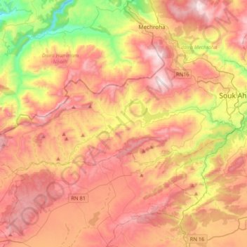
Name: Hanancha topographic map, elevation, terrain.
Location: Hanancha, Mechroha District, Souk Ahras, Algeria (36.20077 7.62210 36.30394 7.95159)
Average elevation: 816 m
Minimum elevation: 253 m
Maximum elevation: 1,276 m