Geolocate

Butter topographic map

Click on the map to display elevation.

About this map

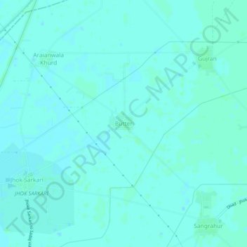
Name: Butter topographic map, elevation, terrain.

Location: Butter, Faridkot Tahsil, Faridkot, Punjab, India (30.75544 74.54109 30.79544 74.58109)

Average elevation: 194 m

Minimum elevation: 192 m

Maximum elevation: 197 m

Gear up for your next adventure:

🥾Trail Running Boots - Durable shoes designed for trail running
🧥Thermal Layer - Insulating layer for cold outdoor conditions
🔦LED Headtorch - Bright and durable light for night activities
🎒Fully Waterproof Backpack - Total protection for photography gear and electronics
🧦Outdoor Socks - Durable socks designed for hiking and outdoor sports

As an Amazon Associate, this site earns from qualifying purchases at no extra cost to you.