
Tanjungarum topographic map
Interactive map
Click on the map to display elevation.
About this map
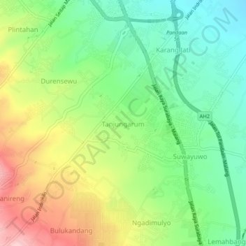
Name: Tanjungarum topographic map, elevation, terrain.
Location: Tanjungarum, Pasuruan, East Java, 67161, Indonesia (-7.70233 112.67892 -7.66233 112.71892)
Average elevation: 229 m
Minimum elevation: 144 m
Maximum elevation: 358 m