
Thank you for supporting this site ❤️
Make a donation
Make a donation
Gear up for your next adventure:
As an Amazon Associate, this site earns from qualifying purchases at no extra cost to you.
Kasunga topographic map
Click on the map to display elevation.
Thank you for supporting this site ❤️
Make a donation
Make a donation
Gear up for your next adventure:
As an Amazon Associate, this site earns from qualifying purchases at no extra cost to you.
About this map
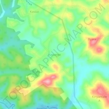
Name: Kasunga topographic map, elevation, terrain.
Location: Kasunga, Kyenjojo, Western Region, Uganda (0.60420 30.42399 0.64420 30.46399)
Average elevation: 1,459 m
Minimum elevation: 1,399 m
Maximum elevation: 1,562 m
Thank you for supporting this site ❤️
Make a donation
Make a donation
Gear up for your next adventure:
As an Amazon Associate, this site earns from qualifying purchases at no extra cost to you.