Geolocate

Graben topographic map

Click on the map to display elevation.

About this map
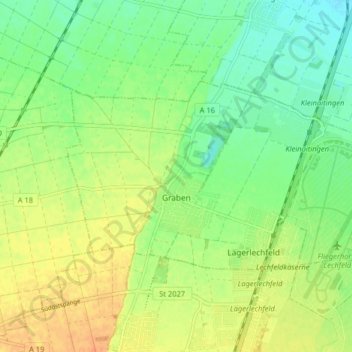
Name: Graben topographic map, elevation, terrain.

Location: Graben, Augsburg (district), Bavaria, Germany (48.17784 10.79683 48.20686 10.87726)

Average elevation: 552 m

Minimum elevation: 536 m

Maximum elevation: 570 m

Gear up for your next adventure:

🚲Heavy Duty Bike Lock - Secure your bike at the trailhead or during stops
🧣Evaporative Cooling Towel - Beat the heat during intense summer climbs
🥤Collapsible Travel Cup - Saves space and weight in your mess kit
🧰Emergency Multi-Tool - Compact multi-tool for outdoor survival
⛺Family Camping Tent - Spacious tent suitable for family camping trips

As an Amazon Associate, this site earns from qualifying purchases at no extra cost to you.