Geolocate

Bana topographic map

Click on the map to display elevation.

About this map

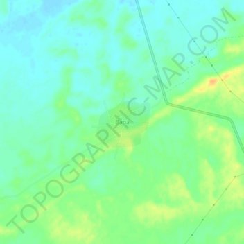
Name: Bana topographic map, elevation, terrain.

Location: Bana, Sri Dungargarh Tehsil, Bikaner, Rajasthan, India (27.95735 74.01417 27.99735 74.05417)

Average elevation: 301 m

Minimum elevation: 290 m

Maximum elevation: 321 m

Gear up for your next adventure:

🔪Outdoor Multitool - Versatile tool for repairs and food prep in the wild
🔦UV Flashlight - Detect minerals or specific insects in the dark
📷Outdoor Action Camera - Capture high-elevation views and rugged adventures
🧥Softshell Hiking Jacket - The perfect balance of wind protection and breathability
🧴Bear Spray Holster - Quick-access carry for essential Canadian wilderness safety

As an Amazon Associate, this site earns from qualifying purchases at no extra cost to you.