Geolocate

Hepburn topographic map

Click on the map to display elevation.

About this map

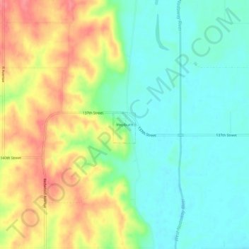
Name: Hepburn topographic map, elevation, terrain.

Location: Hepburn, Page County, Iowa, United States (40.82814 -95.03655 40.86814 -94.99655)

Average elevation: 329 m

Minimum elevation: 300 m

Maximum elevation: 373 m

Gear up for your next adventure:

Lightweight Backpacking Tent - Compact tent for efficient hiking trips
🧥Waterproof Jacket - Lightweight rain jackets for hiking and outdoor activities
🔭Outdoor Binoculars - Lightweight binoculars for birdwatching and hiking
🧥Softshell Hiking Jacket - The perfect balance of wind protection and breathability
🥾Mountain Trail Shoes - High-traction shoes for mountain trails

As an Amazon Associate, this site earns from qualifying purchases at no extra cost to you.