
Cape Fear topographic map
Interactive map
Click on the map to display elevation.
About this map
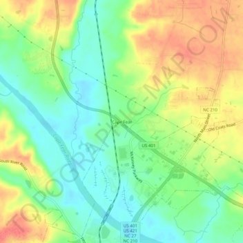
Name: Cape Fear topographic map, elevation, terrain.
Location: Cape Fear, Harnett County, North Carolina, United States (35.40516 -78.83474 35.44516 -78.79474)
Average elevation: 57 m
Minimum elevation: 32 m
Maximum elevation: 86 m