
Mae Chan topographic map
Interactive map
Click on the map to display elevation.
About this map
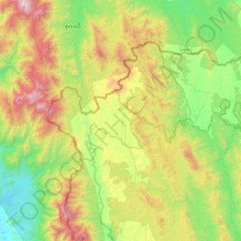
Name: Mae Chan topographic map, elevation, terrain.
Location: Mae Chan, Tak Province, Thailand (15.87119 98.50214 16.19119 98.82214)
Average elevation: 763 m
Minimum elevation: 55 m
Maximum elevation: 2,005 m