Geolocate

Holt topographic map

Click on the map to display elevation.

About this map

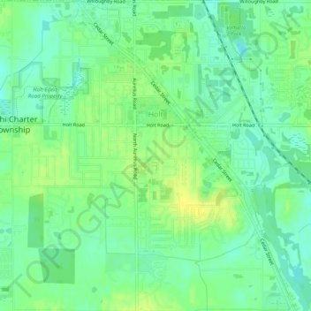
Name: Holt topographic map, elevation, terrain.

Location: Holt, Delhi Charter Township, Ingham County, Michigan, 48842, United States (42.61840 -84.54313 42.65482 -84.50165)

Average elevation: 270 m

Minimum elevation: 260 m

Maximum elevation: 280 m

Other topographic maps

Click on a map to view its topography, its elevation and its terrain.

Gear up for your next adventure:

🧭Orienteering Kit - Tools for map reading and navigation in the wild
👟Trail Running Shoes - Agile footwear for fast-paced topographic exploration
🔭Outdoor Binoculars - Lightweight binoculars for birdwatching and hiking
🥾Hiking Boots - Sturdy boots providing ankle support and traction on rugged trails
🧣Merino Neck Gaiter - Protects against wind, sun, and cold at high altitudes

As an Amazon Associate, this site earns from qualifying purchases at no extra cost to you.