Geolocate

Magnetawan topographic map

Click on the map to display elevation.

About this map

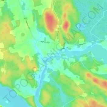
Name: Magnetawan topographic map, elevation, terrain.

Location: Magnetawan, Parry Sound District, Central Ontario, Ontario, P0A 1P0, Canada (45.64520 -79.66385 45.68520 -79.62385)

Average elevation: 296 m

Minimum elevation: 274 m

Maximum elevation: 332 m

Parry Sound District trails, hiking, mountain biking, running and outdoor activities

Gear up for your next adventure:

🥾Hiking Boots - Sturdy boots providing ankle support and traction on rugged trails
🧴Bear Spray Holster - Quick-access carry for essential Canadian wilderness safety
🥾Hiking Shoes - Durable and comfortable shoes for trail hiking
🧢Beanie Hat - Keep your head warm in cold weather
🧼Travel Hand Sanitizer - Keep hands clean when water is scarce

As an Amazon Associate, this site earns from qualifying purchases at no extra cost to you.