
Kaltherberg topographic map
Interactive map
Click on the map to display elevation.
About this map
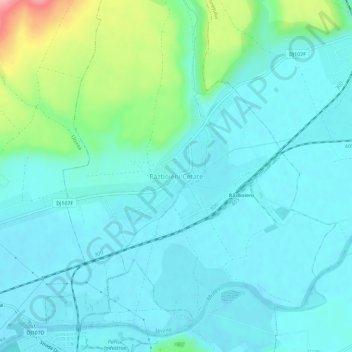
Name: Kaltherberg topographic map, elevation, terrain.
Location: Kaltherberg, Miereschhall, Alba, 515703, Rumänien (46.39311 23.85090 46.43311 23.89090)
Average elevation: 277 m
Minimum elevation: 251 m
Maximum elevation: 390 m