
Mount Tolmie topographic map
Click on the map to display elevation.
About this map
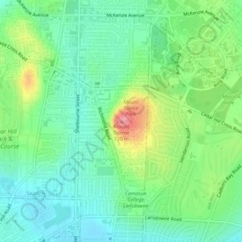
Name: Mount Tolmie topographic map, elevation, terrain.
Average elevation: 52 m
Minimum elevation: 22 m
Maximum elevation: 116 m
Capital Regional District trails, hiking, mountain biking, running and outdoor activities
Other topographic maps
Click on a map to view its topography, its elevation and its terrain.
Cecelia Creek Falls Park
Canada > British Columbia > Capital Regional District > Saanich
Average elevation: 36 m
Strawberry Knoll Park
Canada > British Columbia > Capital Regional District > Saanich
Average elevation: 34 m