Geolocate

Cutler topographic map

Click on the map to display elevation.

About this map

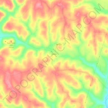
Name: Cutler topographic map, elevation, terrain.

Location: Cutler, Washington County, Ohio, United States (39.33424 -81.81013 39.37424 -81.77013)

Average elevation: 250 m

Minimum elevation: 188 m

Maximum elevation: 287 m

Gear up for your next adventure:

👖Convertible Hiking Pants - Zip-off legs to adapt to changing weather conditions
🧭GPS Handheld Device - Reliable GPS navigation for outdoor adventures
🥾Trekking Boots - Durable boots for long-distance trekking
🥾Durable Hiking Shoes - Long-lasting shoes for frequent hiking
🧦Crew Hiking Socks - Comfortable socks for long-distance hikes

As an Amazon Associate, this site earns from qualifying purchases at no extra cost to you.