Geolocate

Ucluelet topographic map

Click on the map to display elevation.

About this map
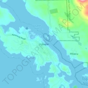
Name: Ucluelet topographic map, elevation, terrain.

Location: Ucluelet, British Columbia, V0R 3A0, Canada (48.92268 -125.56605 48.96268 -125.52605)

Average elevation: 19 m

Minimum elevation: -2 m

Maximum elevation: 191 m

British Columbia trails, hiking, mountain biking, running and outdoor activities

Gear up for your next adventure:

🧥Thermal Layer - Insulating layer for cold outdoor conditions
⛺Camping Tent - Weather-resistant tents suitable for 2 to 6 people
🛌Down Sleeping Bag - Superior warmth-to-weight ratio for cold nights
🥤Collapsible Travel Cup - Saves space and weight in your mess kit
🥾Lightweight Hiking Boots - Boots for comfort and mobility on long hikes

As an Amazon Associate, this site earns from qualifying purchases at no extra cost to you.